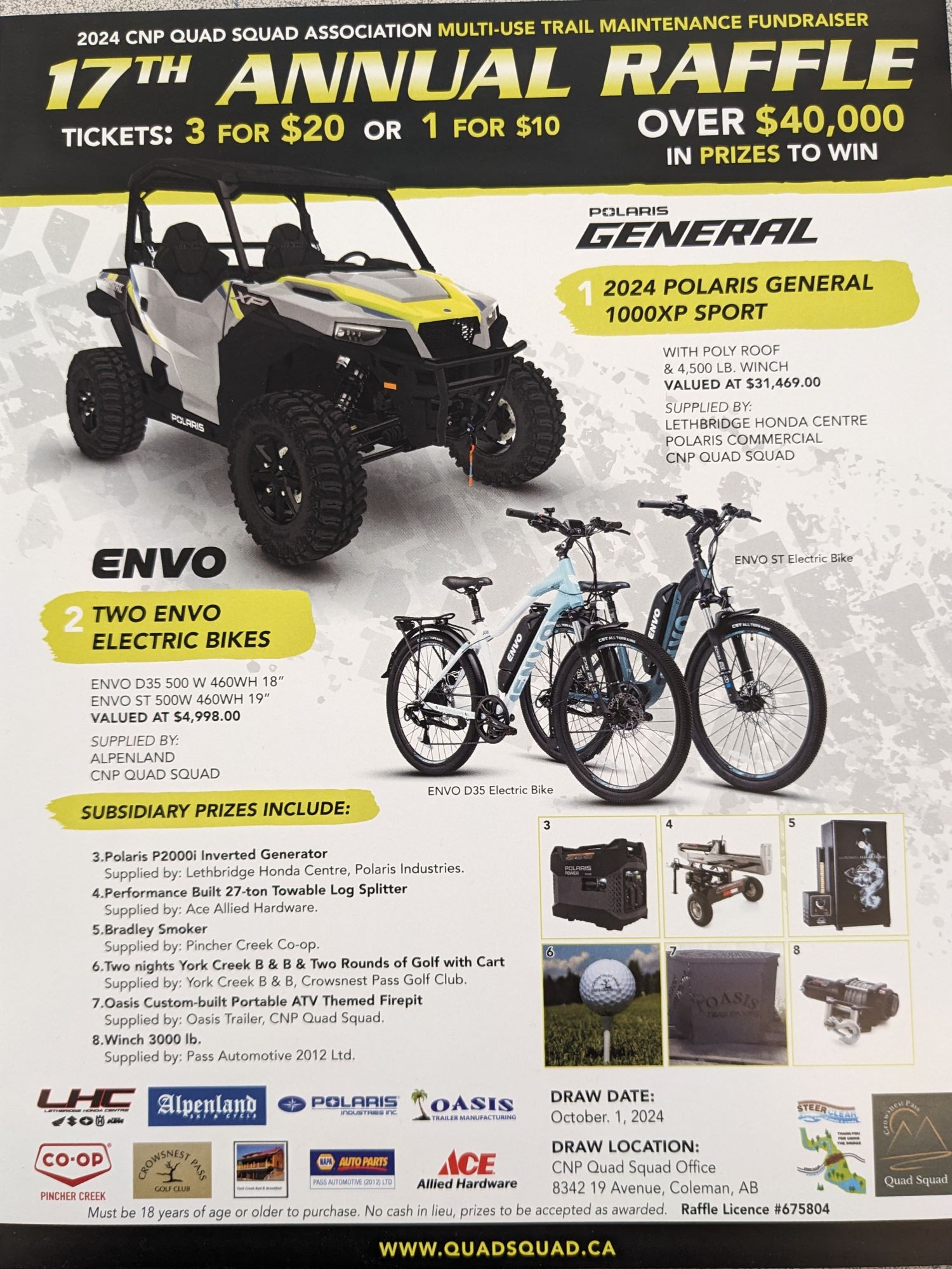
2024 CNP Quad Squad Raffle Tickets are available!!
Over $40 000 worth of prizes!!
Buy your tickets now or call the office if you can help us out by selling a book!!
2024 CNP Quad Squad Memberships!!
2024 CNP Quad Squad memberships are now available.
Please support our club in trail maintenance and projects!!


Be sure to check out our Events Calendar for upcoming volunteer opportunities as well as events!!
CNP Quad Squad
President's Report
April 2023
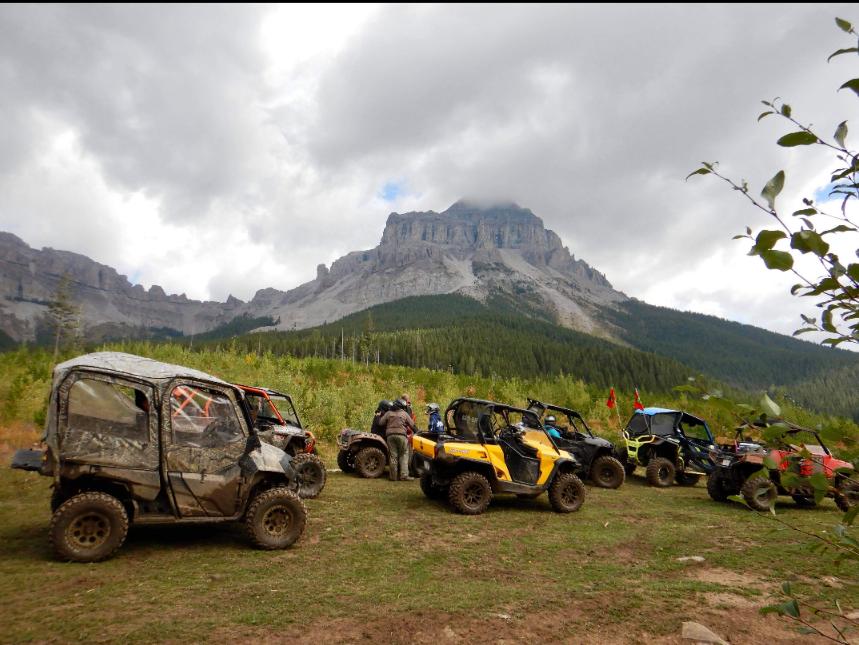
2023 Day Rides


Upcoming Rides & Events
Be the first to find out about our latest rides, projects and events. Learn more...
2023 Public Land Use Zone Maps
- 2023-24 Winter Porcupine Hills Public Land Use Zone Map
- 2023-24 Winter Livingstone Public Land Use Zone Map
- Castle Provincial Park Winter Map
- 2023 Summer Livingstone Public Land Use Zone Map
- 2023 Summer Porcupine Hills Public Land Use Zone Map
- Castle Wildland Park Summer Map
Get Involved
 Become a member.
- Volunteer.
- Become a sponsor.
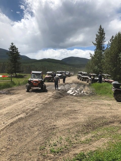
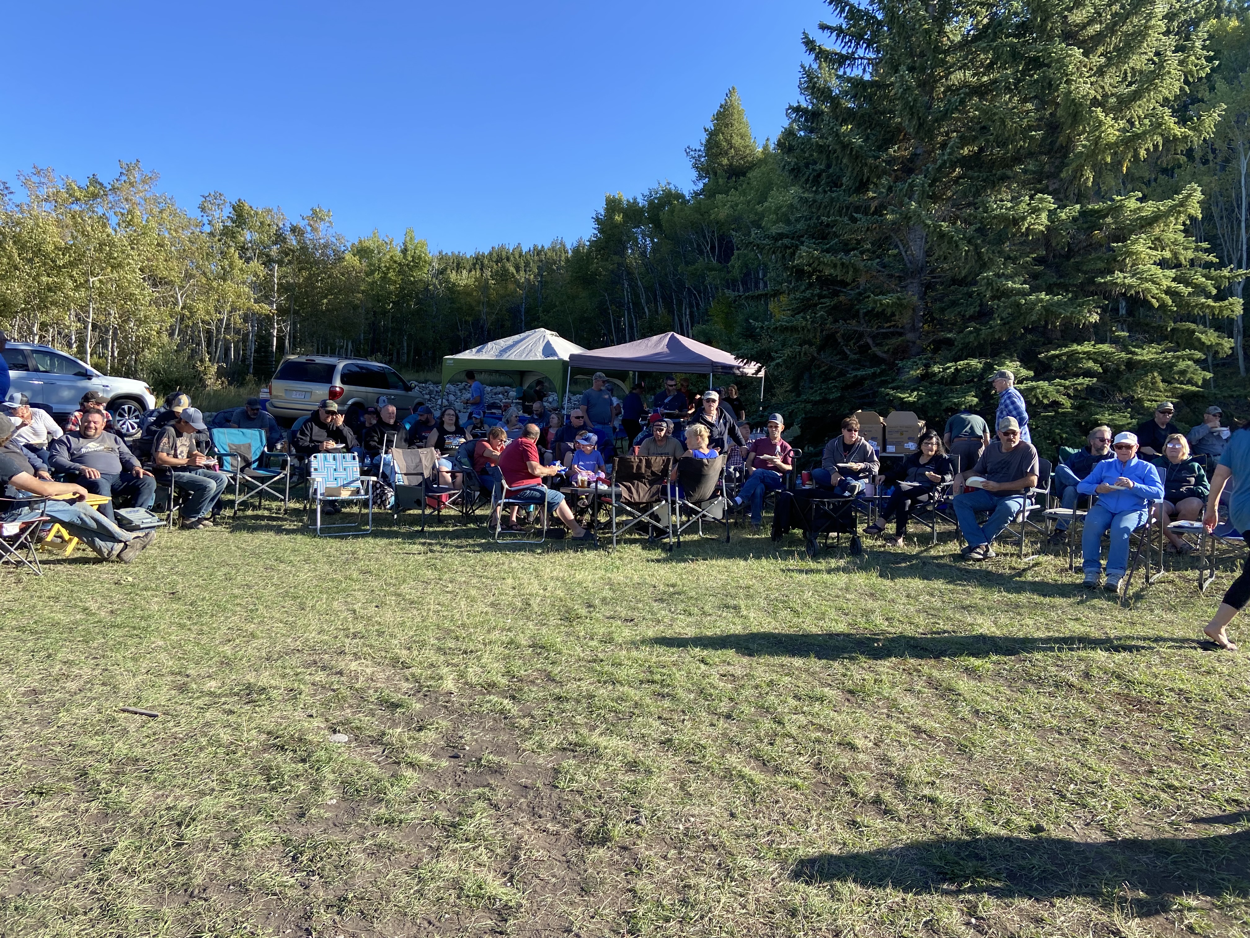
2023 Season Windup!!
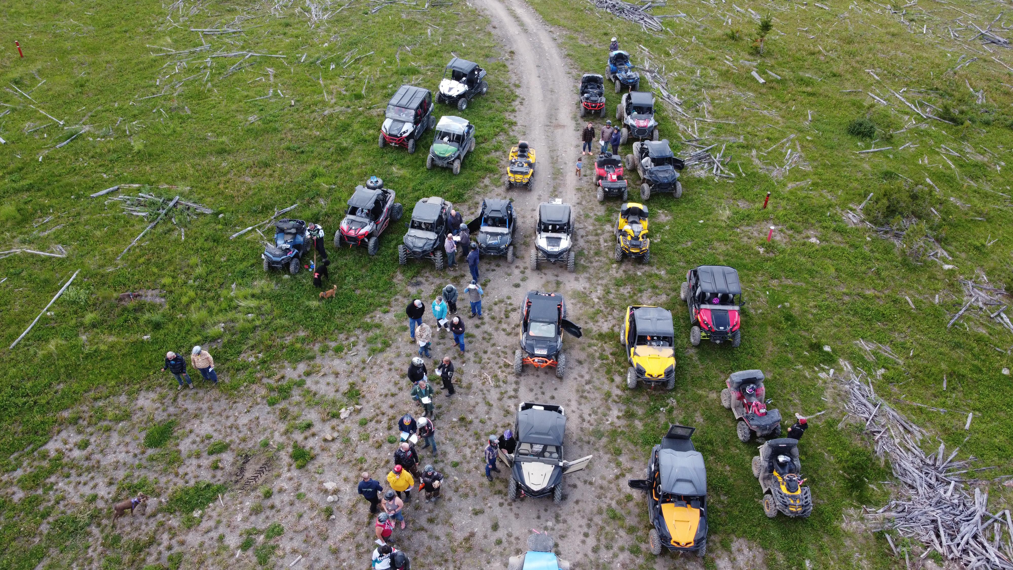
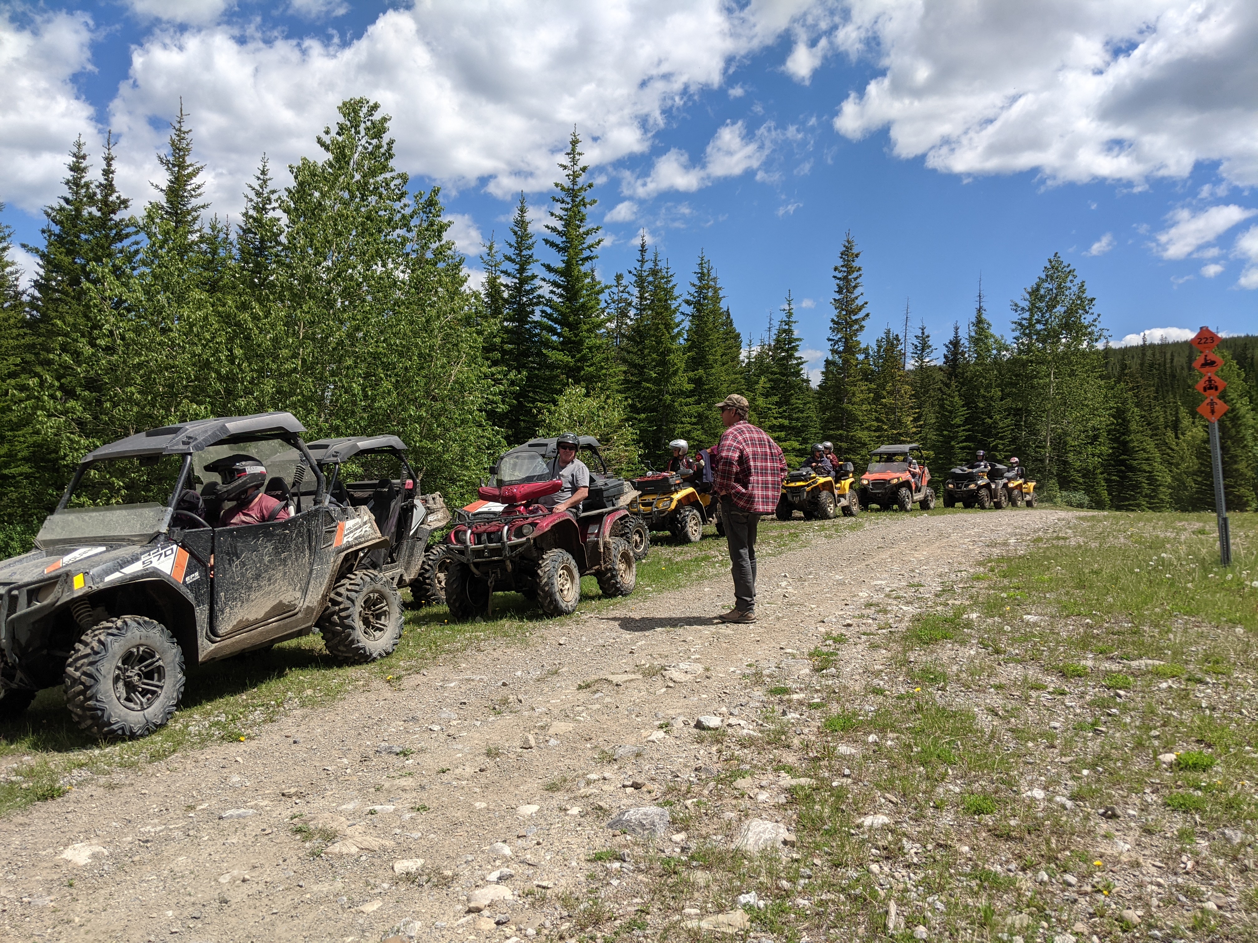
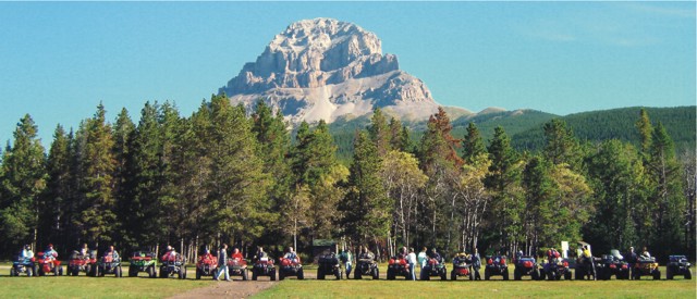
CNP Quad Squad 2023 Season Opener and Windup were huge successes and fun was had by all!! Incredible turnouts for the weekends with nice weather, poker runs, games, draws and delicious suppers made the days awesome! Thank you to all our sponsors, businesses and volunteers who donated items, volunteered their time and helped fund our weekends. We also thank all our club members and participants who made the 2023 events such a great time!!
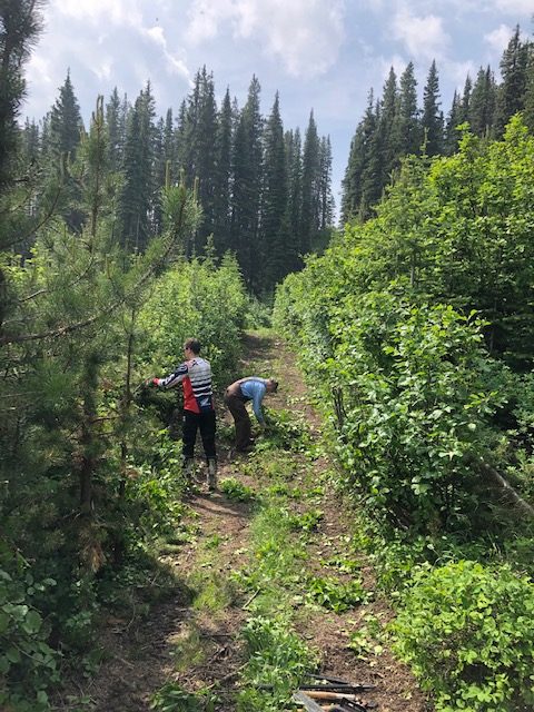
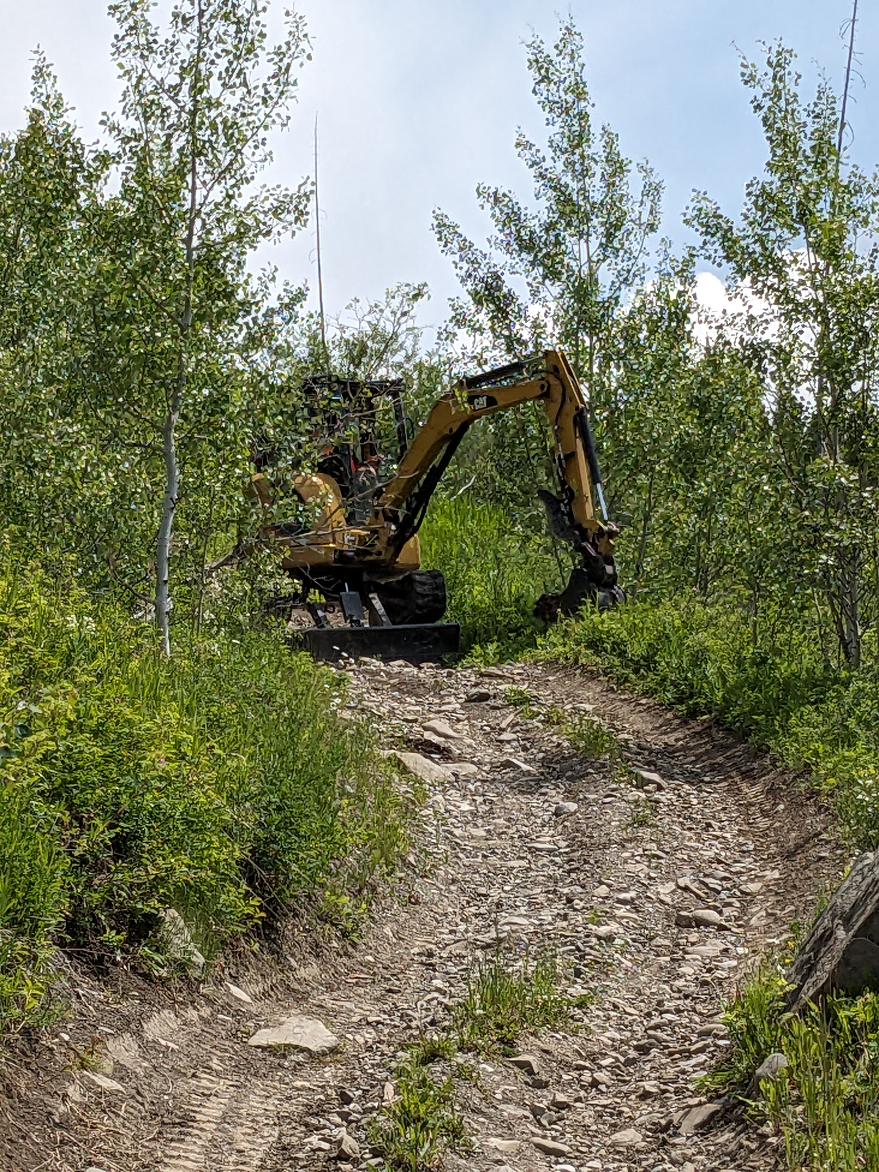
Trail Maintenance 2023
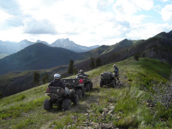
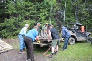
CNP Quad Squad has been busy this 2023 season. Work was completed on Dutch Creek/Racehorse Creek Trails, Hastings Trail removing large rocks ,dangerous slopes and filling in erosion. This was completed in time for our Season Opener. Work was completed on the swampy area on the Plane Crash Trail, Big Dip widening and Spoon Valley brush clearing. The CNP Quad Squad also worked alongside Trouts Unlimited in Porcupine Hills constructing a bypass where the trout creek had overtaken the trail.
Thank you to all our volunteers working on these projects!! Jobs well done!!
![]()
![]()

![]()
Check out the new Quad Squad merchandise!!
Government Introduces Trail Act
November 2021
Please see the following news release regarding the proposed Alberta Trails Act (Bill 79), November 2021
Link: https://www.alberta.ca/release.cfm?xID=80269D66F9D47-DE0B-665B-8361631AC63B99FC
Are You an ATV Enthusiast?
The Crowsnest Pass Quad Squad is a non-profit organization that manages over 600 km of trails in the Rocky Mountains of Southwest Alberta.
Hundreds of members, corporate sponsors and volunteers support us in our mission to keep the trails clean for the thousands of visitors each year.
Come Ride With Us!
ATV/ QUAD SAFETY!!
Click below to take part in the CQC Trail Box Talks
to learn more about Safety!!